Tintagel Castle
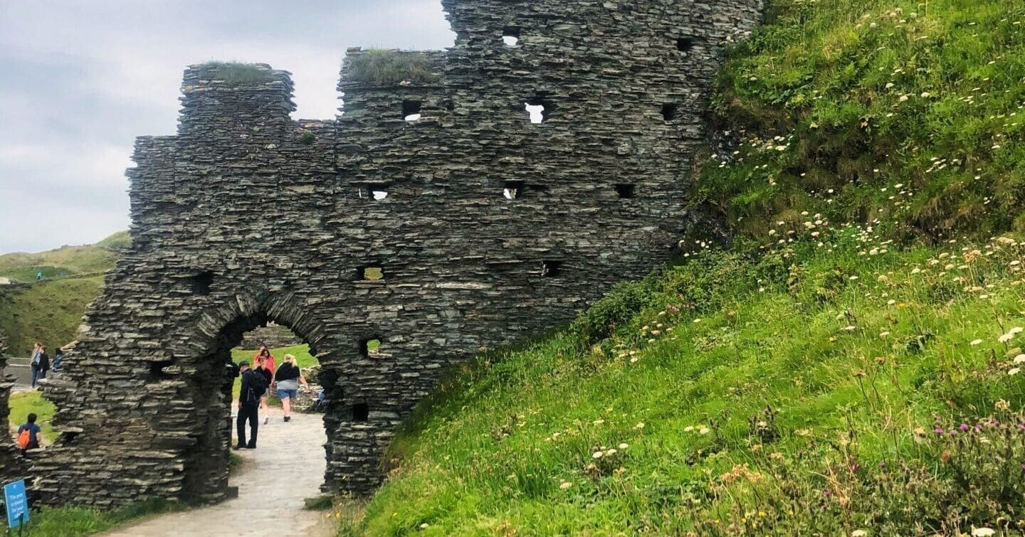
The ruins aren’t the main draw here, it’s the cliffs, the drop to the sea, and a beach cave that’s not always accessible.
The Cornish coast runs for around 700 kilometres from the Tamar Estuary to the Tamar Estuary the other way – encircling the entire peninsula – and no two sections are quite the same. The north coast faces the Atlantic directly, with wide sandy beaches backed by dunes at places like Perranporth, Holywell and Constantine Bay, and dramatic cliff scenery at Bedruthan Steps and Trevose Head. The south coast is more sheltered, with deep river estuaries at Fowey and the Helford River, and the subtropical planting of the Heligan and Trebah gardens.
The far west around Land’s End and the Penwith Peninsula has its own distinct character – ancient stone monuments, tin mining ruins on clifftops, the artists’ town of St Ives and the pilchard-stacked streets of Mousehole and Newlyn. Penwith is small enough to drive the perimeter in a day but large enough to spend a week exploring slowly.
In summer the Cornish coast is one of the busiest destinations in Britain, and the narrow lanes combined with high visitor numbers make July and August genuinely difficult for van travel. The shoulder seasons – May, June, September and October – give access to the same scenery with a fraction of the traffic. Many car parks that prohibit overnight stays in summer relax their restrictions outside the peak months.
The South West Coast Path runs the entire length of the Cornish coast and provides excellent walking from overnight stops. The sections around the Lizard Peninsula, Cape Cornwall and the north coast cliffs are among the most dramatic stretches of the whole route.
The ruins aren’t the main draw here, it’s the cliffs, the drop to the sea, and a beach cave that’s not always accessible.